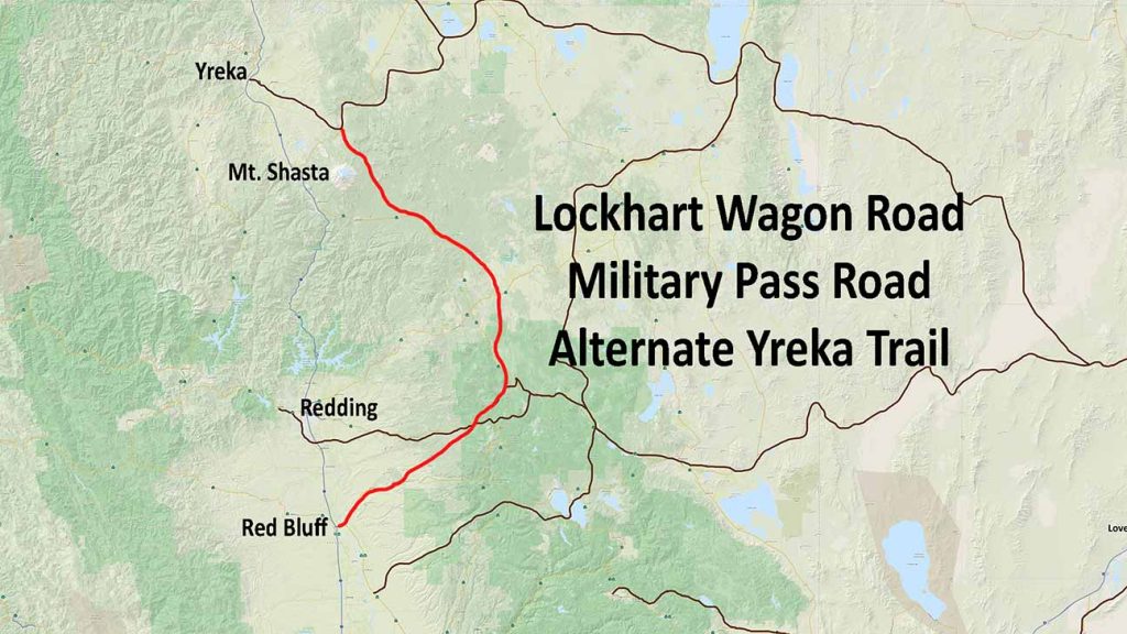
Lockhart Wagon Road/Alternate Yreka Trail
Military Pass Road was built, in part, by the U.S. Army in 1855.
The original route has changed since its early days as a wagon road. Archaeologist Gerald Hoertling discovered that the route marked on today’s maps was not the same as the original wagon road shown on 1883 Government Land Office maps. The shifts in the road took place in 1910 and between 1924 and 1931.
The road went by many names in its early days, such as Lockhart Wagon Road (after the brothers who laid it out hoping for more business for their ferry service), the road from Red Bluff to Yreka, and the Shasta Valley Road.
The name Military Pass was adopted officially in the 1940s when a local historian expressed that it was first used by soldiers, but this is not the case. Emigrants were actually the first to use this road, carrying their families, cattle, and sheep along the trail.
Later, stagecoaches traveled back and forth along this route, but in the late 1850s the Military established a presence, escorting travelers to protect them from the frequent Indian attacks along the road. Pilgrim Creek area used to serve as a stop for the stagecoaches traveling this route. (From “In Search of Military Pass Road,” Cassidy and Hoertling, 1996)


