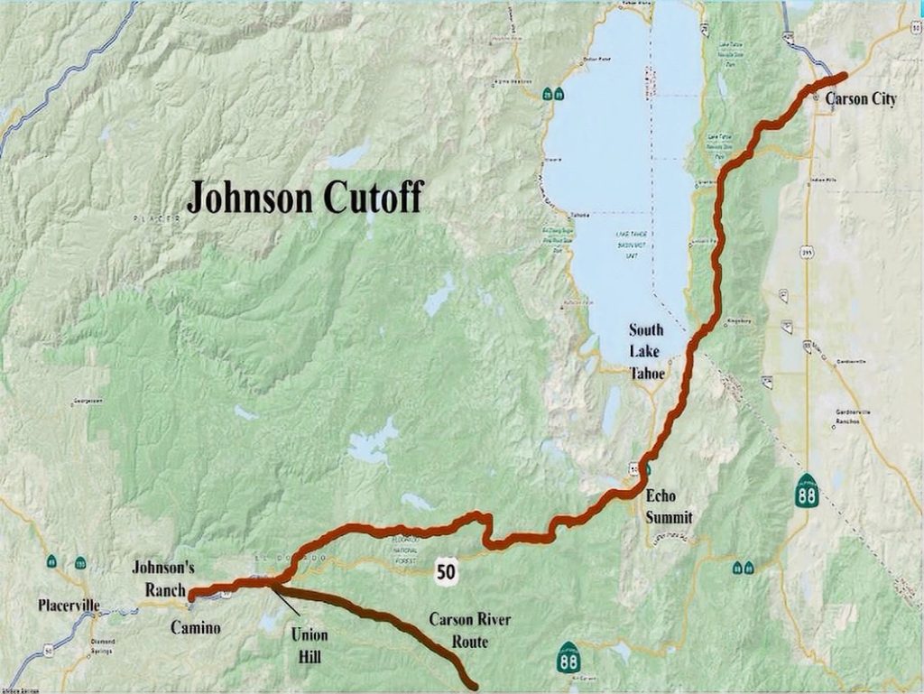
Johnson Cutoff - 1852
While William Nobles was surveying his new route in 1851, colorful frontiersman Jim Beckwourth, using his own funds, had found and developed a new wagon route that brought gold seekers to the diggings at Bidwell’s Bar, north of Marysville.
Beckwourth’s route branched off the Truckee Trail at Truckee Meadows (present Reno-Sparks) in an arching northwest direction, along the corridor of present U.S. 395, to Beckwourth Pass. Here it turned west, and northwest, generally along the corridor of present CA 70 to American Valley (present Quincy). From there, the Beckwourth Trail turned generally southwest by the southern end of Bucks Lake and then onto Bidwell’s Bar on the South Fork of the American River, now under Lake Oroville.
In early August of 1851 Jim Beckwourth led the first wagons over his new trail to Marysville. Unlike William Nobles, Jim Beckwourth was never compensated for his investment in developing this new trail. However, he built a ranch-trading post, called “War Horse Ranch,” just west of modern Beckwourth on CA 70 where he regaled emigrants passing by.
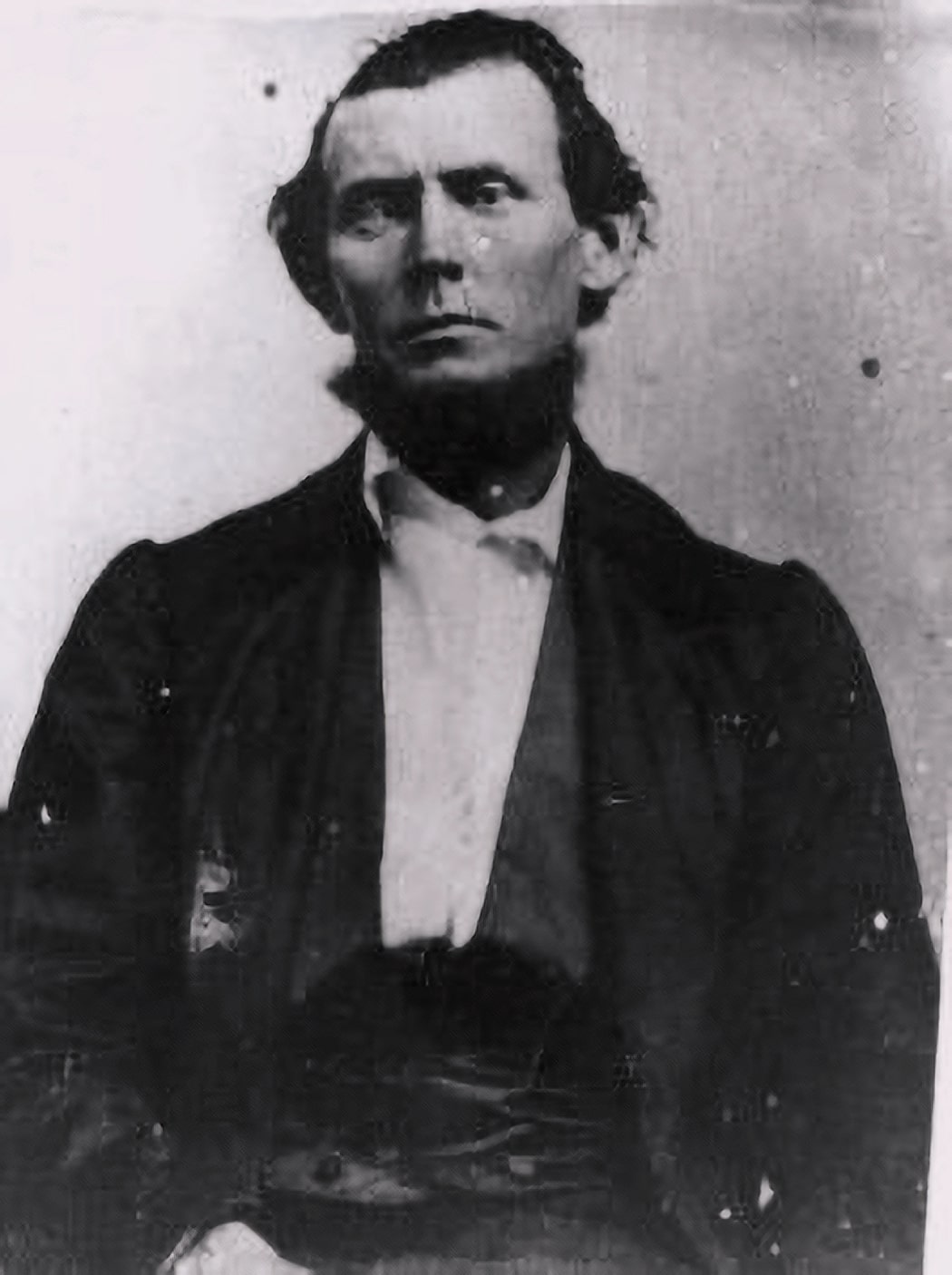
John Calhoun Johnson, a young attorney from Harrison County, Ohio, emigrated to California on horseback in the spring of 1849. Shortly after arriving in El Dorado County that August, he found the perfect site for a farm.
He quickly built a home on what he called his rancho and opened it as a hotel to weary emigrants arriving on the Carson Route. His hotel was known as the Six Mile House because it was six miles east of Placerville on the emigrant route. Several emigrants of 1850 wrote in their diaries that it was the first house they had seen since crossing the plains.
In 1850-51 Johnson was appointed adjunct to the militia. Forever after, his friends called him “Colonel”. He as also sometimes known as “Cock-eye” because he was cross-eyed.
The route is named for John Calhoun Johnson who, in the company of his Delaware Indian scout Fall Leaf, first explored an ancient Indian trade route over the Sierras and modified it for emigrant travel.
The advantages of this route were: it was 50 miles shorter than the Carson route, 2,000feet lower in elevation than the highest point of the Carson route, and had only a single crossing of the South Fork of the American River.
The trail left Carson Valley and went up Kings Canyon and on to Spooner Summit. It then followed the ridge on the east side of Lake Tahoe descending into the Tahoe Valley near Stateline. Crossing the valley it climbed up near Echo Summit to roughly follow the Highway 50 corridor until several miles past Strawberry at Wright’s Hill where it followed Peavine Ridge to Pacific House and on to Placerville.
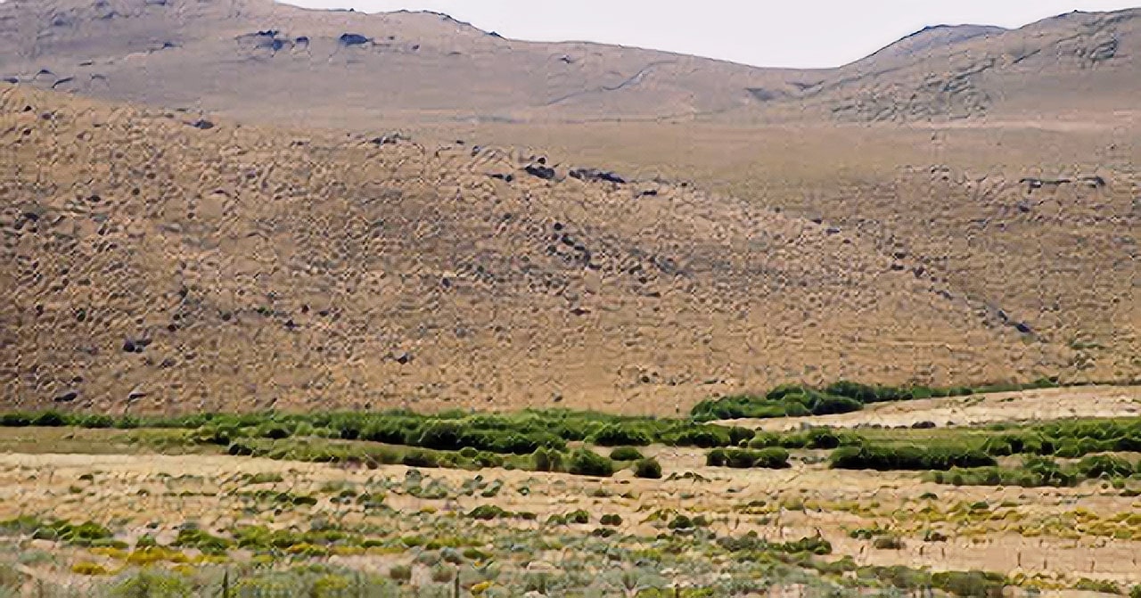
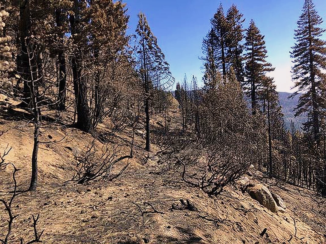
This doesn’t mean it was easy. An emigrant in 1852 described the 800 foot rocky climb from Tahoe’s Lake Valley to Echo Summit as “Just like climbing a tree, only harder.”
The Pony Express and legendary Snowshoe Thompson both used this route to deliver mail across the Sierras. Stagecoaches regularly carried passengers at breakneck speed around its steep and stony turns.
When silver was discovered in Nevada in 1859, the tide of traffic turned east to carry the heavy freighting traffic of supplies required by the silver mines.
Each year brought modifications and improvements until 1940 when the Placerville and Carson Valley Road, as it came to be known, had settled into its current path. In 1895, Highway 50 was designated California’s first State Highway. It is also an official part of the Lincoln Highway.


